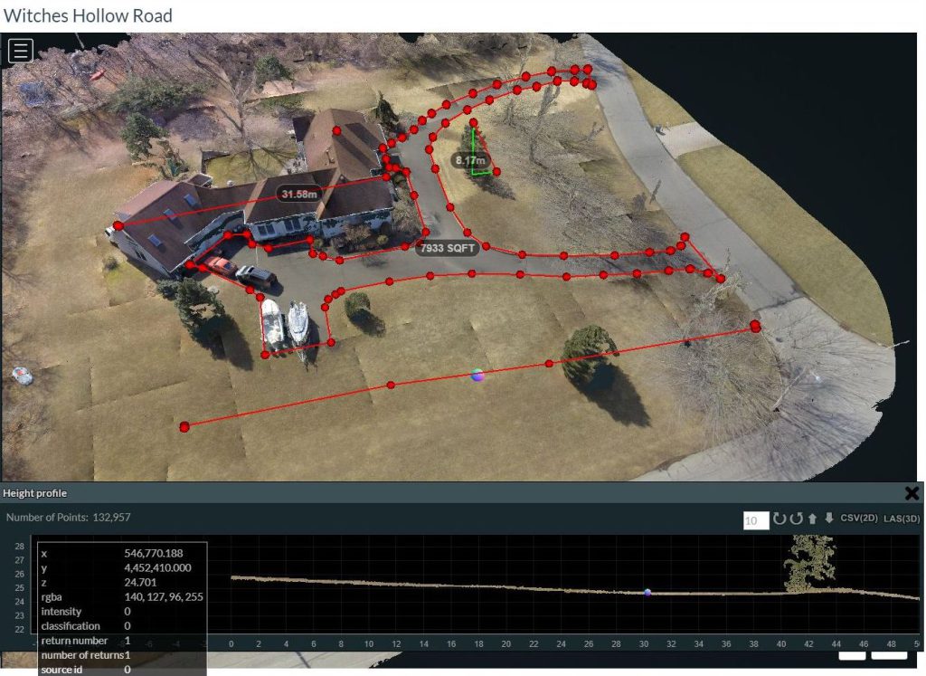
We offer solutions for site data collection based on accurate three dimensional modelling of sites and structures. This allows our clients to determine the course and maintain control of project progress at regular intervals as well as mitigate construction cost overruns due to dynamic milestone and completion projections.
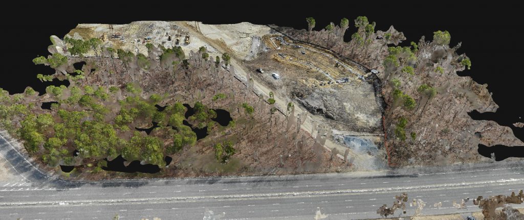
Decisions regarding site preparations or even pre-construction demolition can be facilitated utilizing drone captured data. Material quantity requirements are better calculated through topological surveys where accurate volume calculations allow for fill and hauling estimates. Material stockpile use can be monitored allowing our clients to adjust costs, resources or methods in real time to complete projects with fewer unknown variables. This translates to accurate budget projection and cost overrun mitigation.
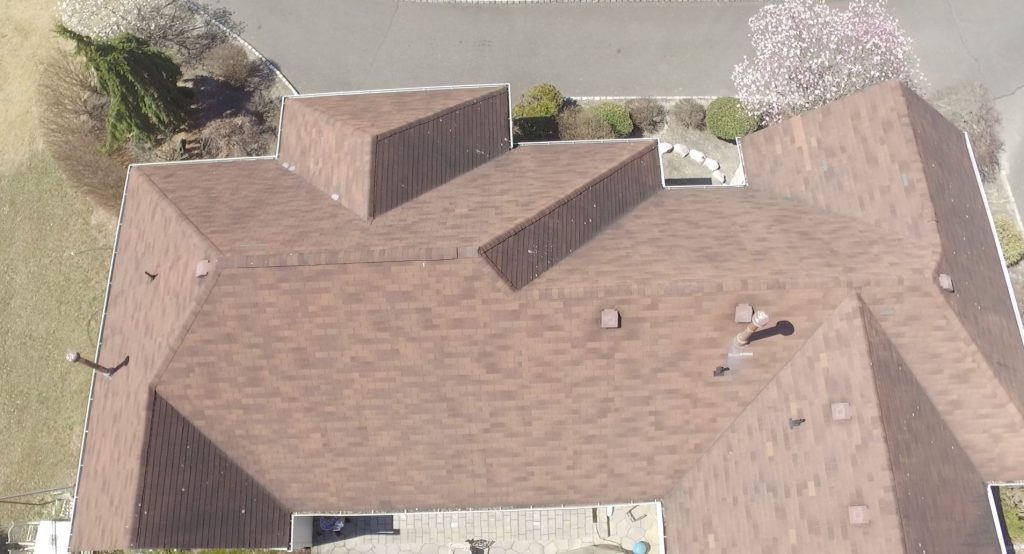
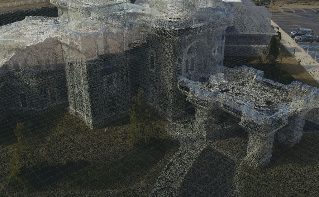
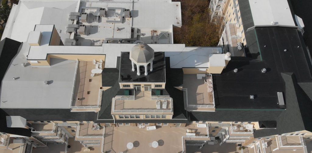
Whether your current project includes new construction or renovation of an existing structure, we can help you determine the scope of the task at hand. Using photogrammetry tools, millimeter accurate modeling of pre-existing structures can even aid in both the architectural design and engineering phases of the project.
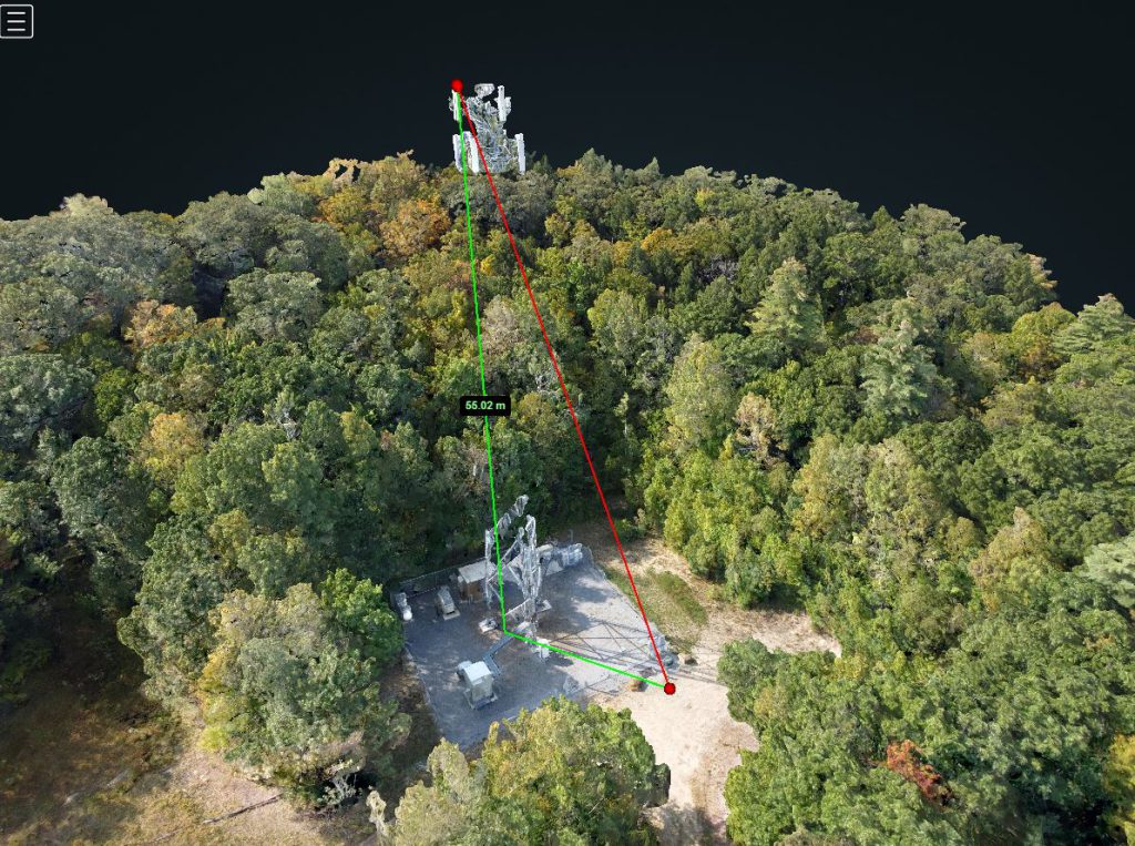
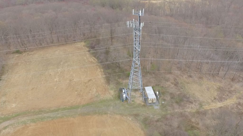
Structural inspection of bridges, roadways, tunnels and towers can be used to develop a maintenance routine or perhaps even help avert disaster. We can create accurate three dimensional models ranging in scale from minute to multiple square miles. These models and images can be used to identify structural integrity trouble spots and to confirm that current maintenance is being adequately performed.