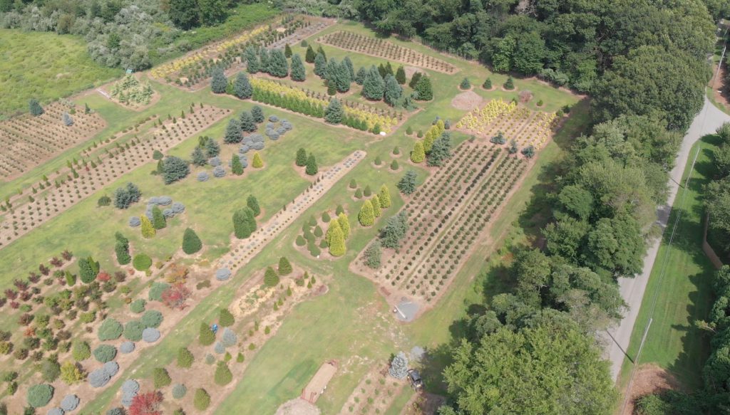
We offer farmers aerial services to help increase their yield and mitigate issues before they occur. Using a combination of photogrammetry, multispectral imaging and high definition imagery, we can identify irrigation problems and point out variations in soil across multiple locations. Autonomous, repeatable mission based multiple flights can be performed over a period of time to reveal environmental changes and identify unhealthy crops due to such factors as pests, fungus and other trouble spots. We can be a part of your overall crop management, allowing you the peace of mind to know what to expect when harvest time comes.
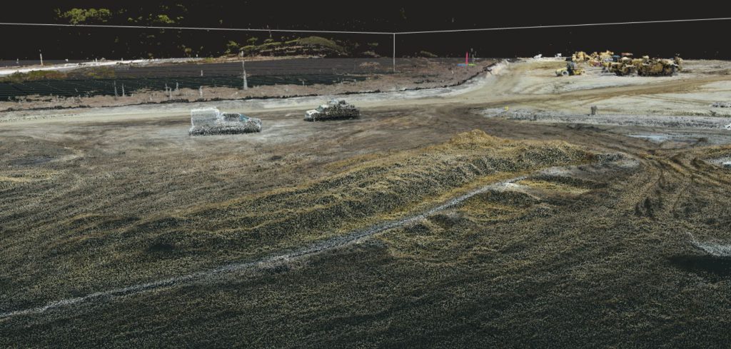
Data we collect can be used to create georeferenced ortho-photomosaics, 3d models and digital surface models. Collected data can be imported into geographical information systems (GIS) for further mapping. Working with local and state governments we are able to provide aerial surveys for use in determining watershed variations affecting drainage divides and basins.
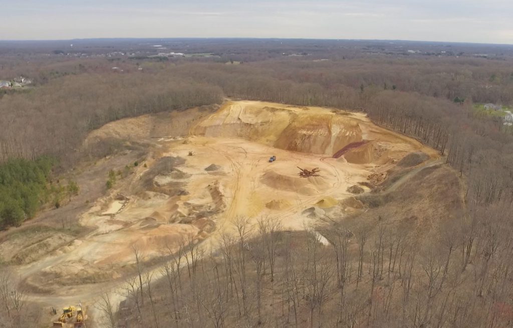
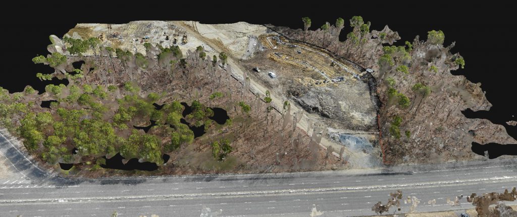
By replacing traditional aviation platforms, mining operations can benefit from our services as well. We can offer a full range of services including exploration, surveillance of direct operations, monitoring stockpiles and providing data to aid the entire process from site planning through reclamation.
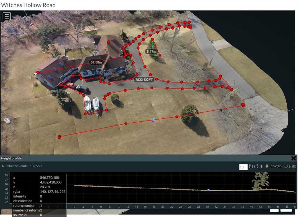
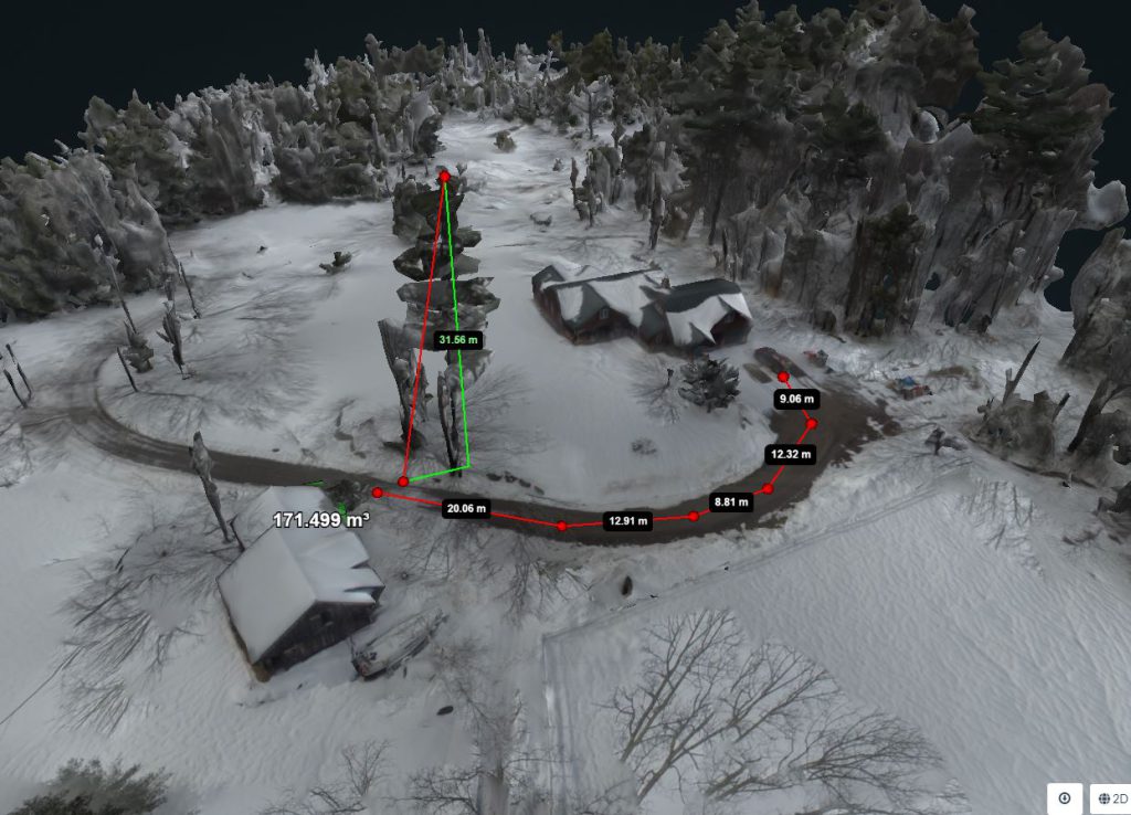
Landscapers can benefit as well. Aerial photos and three dimensional models of sites can be used as a virtual canvas for planning and designing an entire location. Runoff and required irrigation can be identified and steps taken to blend the landscape with the existing natural environment. Landscapers can also use this information to provide their clients a comprehensive understanding of the completed project before ground is even broken.
Give us a call and see how we can help you.